Drone Services
Thermography & Photogrammetry Inspections
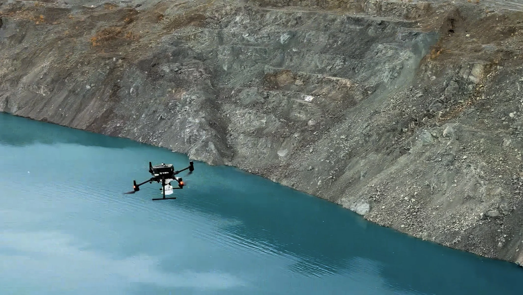
Solutions Engineered for Measurable Impact
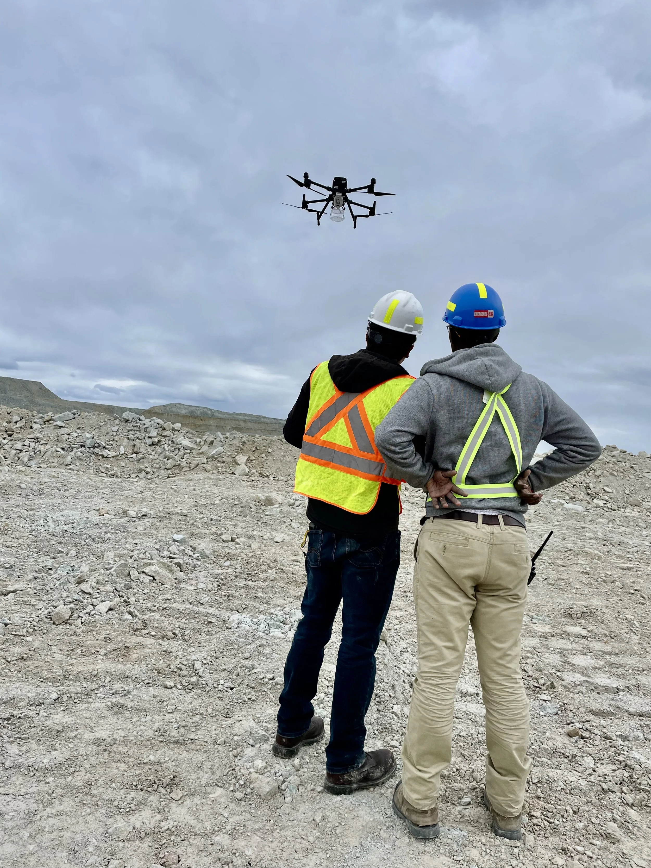
Downtime-Free Facility Inspections & 360° Methane Detection
We capture precise data, flare stack analytics, and fugitive emissions imagery in a fraction of the time—delivering maximum facility insight at a lower cost, with zero compromise on safety.
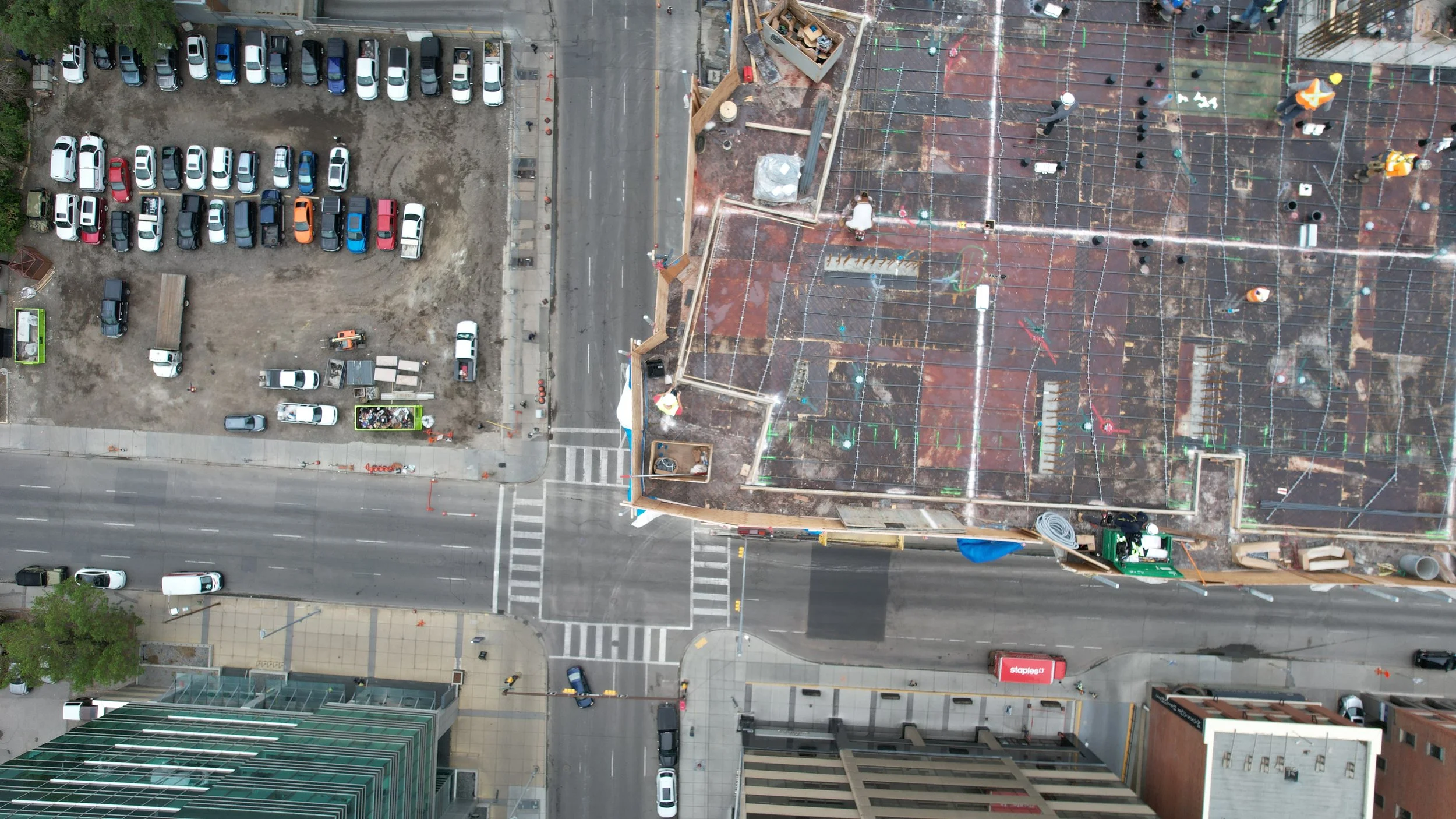
Construction Monitoring, Progress Tracking & Site Mapping
Streamline your residential or commercial builds with high-resolution photos, videos, and precise stockpile analysis—from groundbreaking to completion.
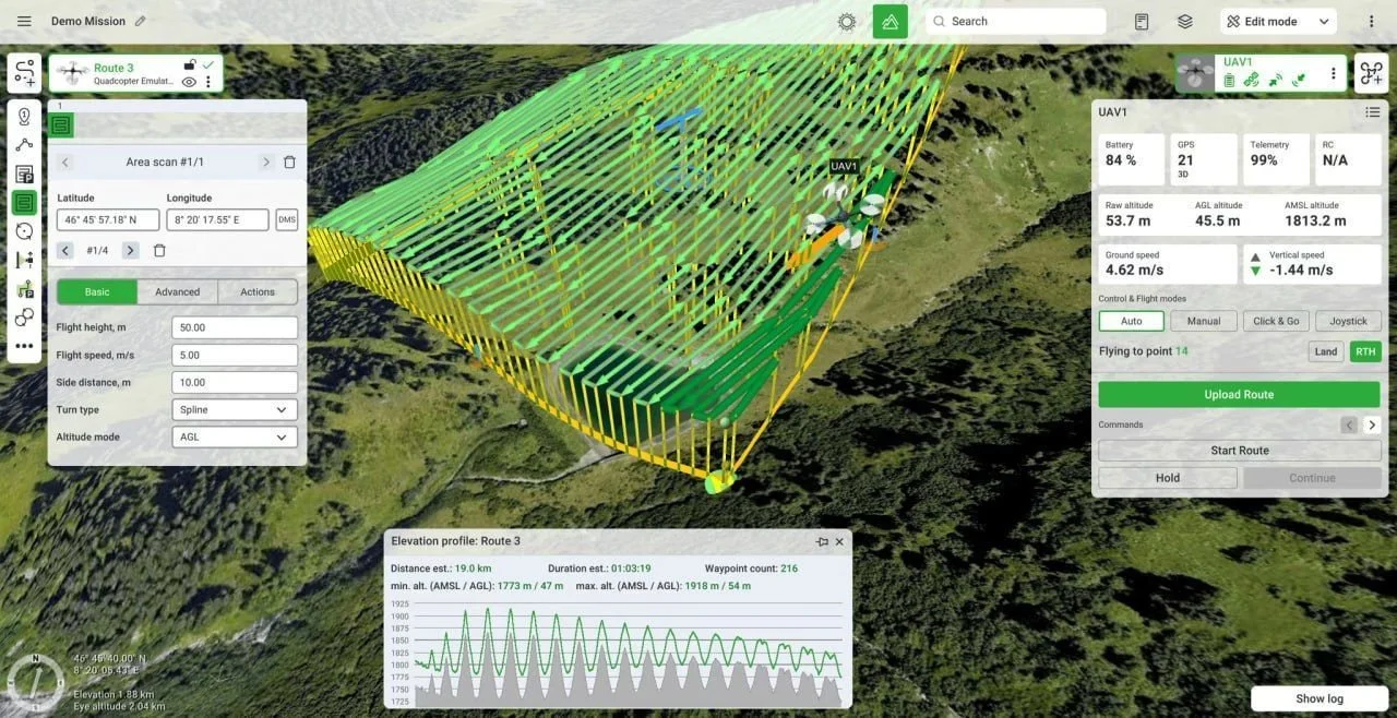
High-Precision PPK & RTK Aerial Mapping
Cost-effective, same-day spatial deliverables—including orthomosaics, 3D photogrammetry, DSMs, elevation contours, dense point clouds, and textured mesh imagery.

Comprehensive Drone Pilot Training & Certification
Master your Advanced and Level 1 Complex Drone Licenses with instructor-led training, practical flight reviews, and ROC-A exams—delivered at unmatched prices.

We successfully completed projects for the following companies